|
| |
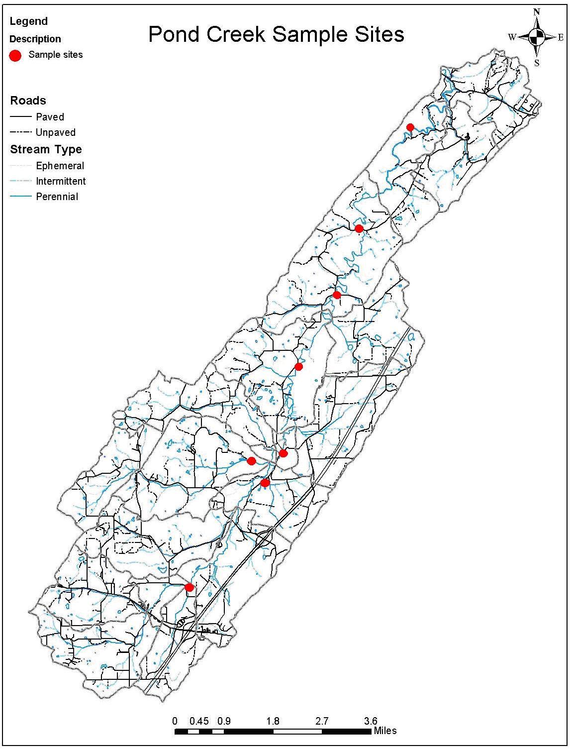
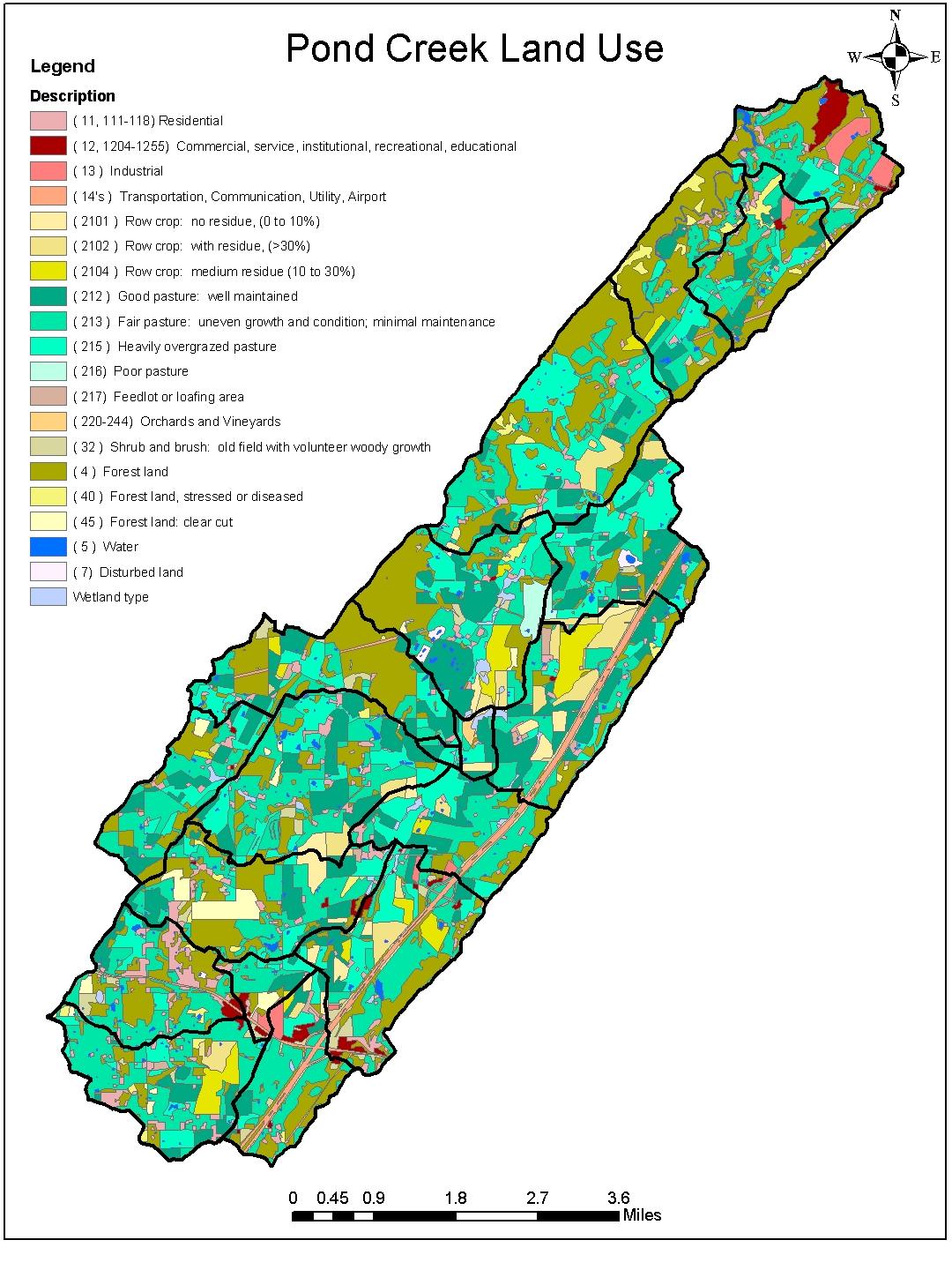
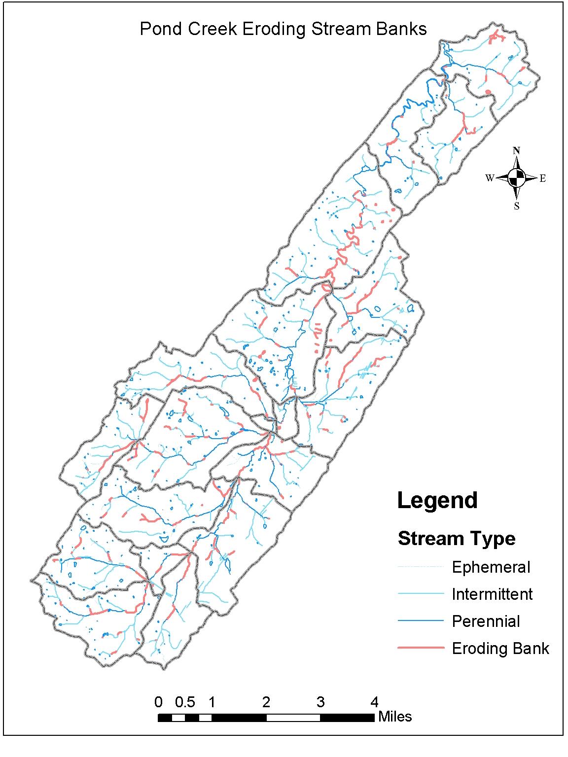
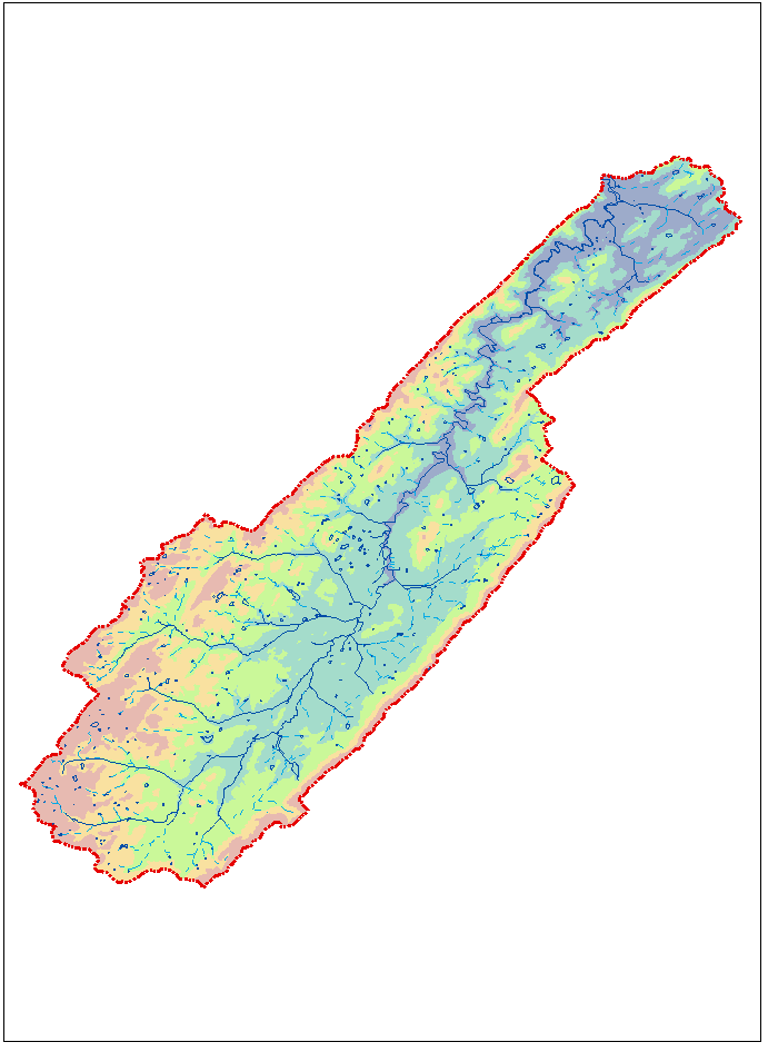
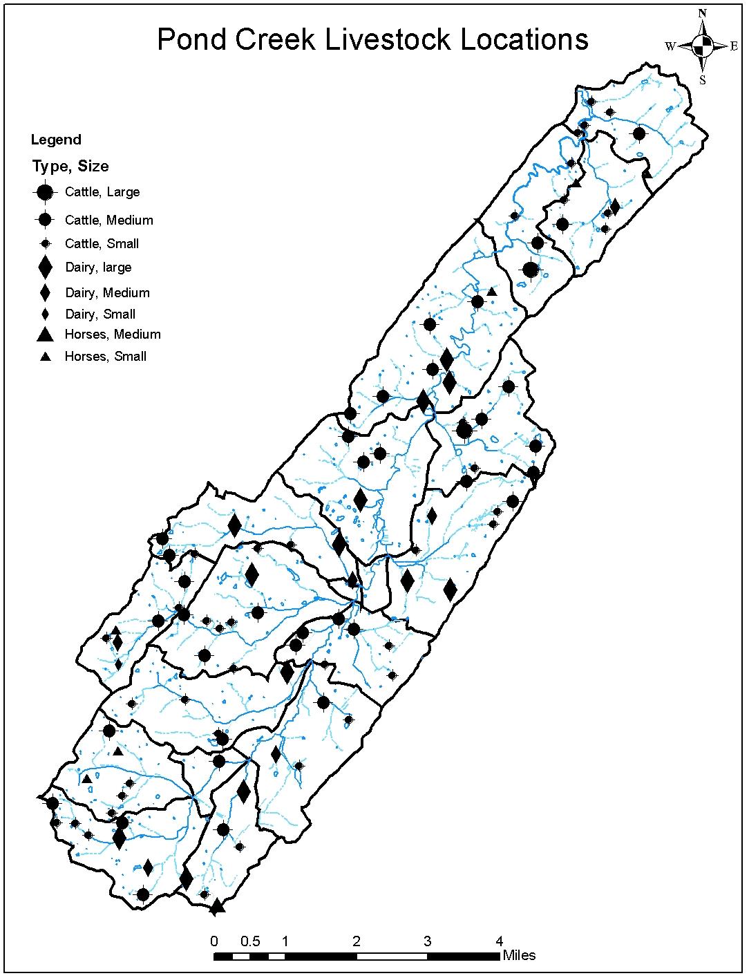
| This section contains maps of Pond Creek generated by a combination of aerial photos, GIS technology and diligent ground-truthing. By nature, these maps are constantly evolving and improving. In March 2002, TVA developed a land use inventory from color infrared photography obtained in March 2002. As visualized in the full-color map below, much of the area is used for agriculture purposes (55% pasture, 7% cropland). From these original maps, concurrent with on-site visits, several additional maps have been created for separate features, including streambank condition and locations of livestock operations within Pond Creek watershed, among others. Please explore the list of maps below to better visualize the status of land and water issues of Pond Creek. (Click on images to enlarge)
|